


MISSOULA — The Miller Peak Fire southeast of Missoula had burned an estimated 1,972 acres going into Wednesday evening.
Crews spent Wednesday working the fire from all different directions with the main points of concern being the Miller Creek drainage and the I-90 corridor.
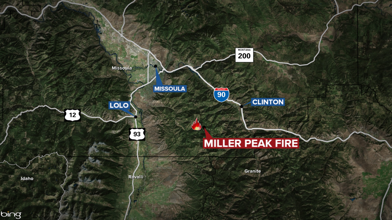
The fire remains 0% contained as it burns in steep and rugged terrain.
An Evacuation Warning issued by the Missoula County Sheriff’s Office remains in effect.
The Northern Rockies Complex Incident Management Team has set up a base camp at Lolo Peak Drainage where they will store their equipment and resources for crew members. The crew has also set up another camp at Lolo School.

There are 166 people assigned to the Miller Peak Fire including 6 engines, 3 helicopters, and 4 hand crews.
