MISSOULA — The Miller Peak Fire near Missoula has doubled in size and has burned over 1,700 acres as of Tuesday morning, according to https://www.mtfireinfo.org/.
The new numbers — which come from more accurate mapping due to visibility — are more than double the 800 acres reported by the Lolo National Forest on Monday evening.
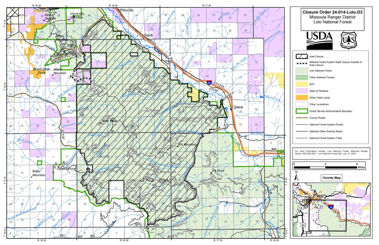
- RELATED: Miller Peak Fire prompts some Missoula trail closures
- PHOTOS: Miller Peak Fire burning southeast of Missoula
The blaze, which is burning southeast of Missoula first sparked to life on Sunday, July 14.
An Evacuation Warning issued by the Missoula County Sheriff’s Office remains in effect.
The warning covers homes between 14380 Upper Miller Creek Road to the junction of the West Fork Schwartz Creek Road and from West Fork Schwartz Creek Road to 7018 West Fork Schwartz Creek.
The priority of the crews includes ensuring the safety of homes in the Miller Creek area, structures on Miller Peak, and the I-90 corridor. Hot, dry weather plus the chance for thunderstorms on Wednesday may impact fire behavior.
A Type 3 to Complex Incident Management Team took over at the scene on Tuesday morning. There are over 130 people assigned to fight the Miller Peak Fire which remains 0% contained.
The cause of the blaze remains under investigation.