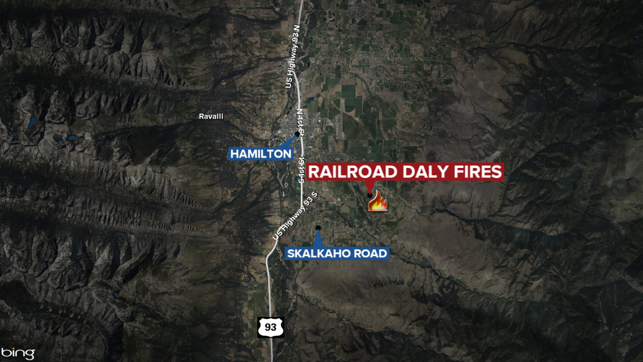

HAMILTON — The Railroad-Daly Fire burning 26 miles southeast of Hamilton has now burned nearly 9,500 acres.
The Monday update shows the Daly Fire is at 8,188 acres and is 56% contained while the Railroad Fire Acres has burned 1,279 acres and is 35% contained.
Fire managers report that while a Sunday reconnaissance flight showed moderate growth in the wildfires, the growth has moderated since the recent wind event.
The most significant activity was seen north of the Fuse Lake/Duncie Creek and below Gird Point along Skalkaho Highway. Firefighters are working to assess and protect structures along the Skalkaho Highway corridor and in the Gem Mine area.
A total of 120 people are assigned to the Railroad-Daly Fire.
The following information is from the October 7, 2024 update:
WEATHER
Warm, dry, and breezy conditions are expected this afternoon. As high pressure builds, the humidity levels will drop, which can make conditions more likely for wildfire spread.
Due to current and forecasted weather conditions, fire activity and potential will remain elevated for at least the next two weeks. Burn periods in the West will be significantly longer than normal and will intensify during wind events. In the Great Lakes, fire potential is expected to rise as leaf fall increases and significant precipitation remains unlikely. Anomalously dry conditions in the West will lead to increased fire activity for October, even without wind. During wind events, fire behavior may resemble that of August, with large runs and burn periods potentially exceeding 24 hours. Despite these challenges, the Railroad-Daly fire is showing moderate progress, particularly when compared to other wildfires in the region encountering similar conditions.
EVACUATIONS, RESTRICTIONS, CLOSURES
All areas along State Highway 38 (Skalkaho Highway) starting at mile marker 26.5 near Skalkaho Pass, turning north at the junction with Rock Creek Road (County Road 102), and continuing to the junction of State Highway 348 and Rock Creek Road. From there, it proceeds northwesterly on Rock Creek Road to USFS Road 241 (Stony Creek Road), moving southwest to the junction of Little Stony Creek and Stony Creek. Following Little Stony Creek west to the ridge where Trail 313 (Bitterroot Rock Creek Divide Trail) begins and continuing south along Trail 313 to the intersection with State Highway 38.
