MISSOULA — This summer kicked off to a hot start.
Temperature records are breaking, and a bit north of Montana, British Columbia hit an all-time high of 121º degrees in late June.
If temperatures remain consistent in Missoula, by Saturday we may hit 21 straight days of at least 90º degrees breaking a record.
This information tells us it's hot for this time of year, but what does this weather say about global systems?
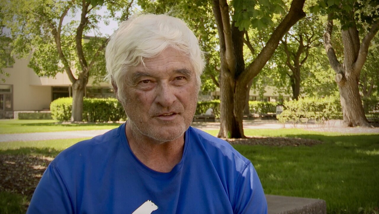
NASA Earth Observing System team member and University of Montana Emeritus Regents Professor, Dr. Steve Running tells MTN News the extreme heat was forecast.
“We're seeing less of those cold extremes, and more of these hot extremes, right in our own weather statistics and of course that's what the climate models forecast," Running said.
Looking back at the past winter was one of the drier seasons on record. Kalispell experienced temperatures between 5º and 6º degrees above normal in December 2020 through January 2021. Missoula was about 4º degrees above average for the same months.
Despite this data, Running said it's the bigger picture that matters.
“Any individual event, no matter how extreme even like this week, in and of itself is not a climate signal. It's only when it's packaged with the rest of the climate observations that it becomes important,” he said.

Fourteen years ago in 2007, Running received a call, he had just won a Nobel Peace Prize for his contribution to the Intergovernmental Panel on Climate Change report.
And that’s just one of his accolades. His primary life contribution is his work on developing software for NASA’s earth observation work, which launched satellites into space. The result is decade's worth of global measurements that showcase how the Earth works as an integrated system.
“We have so many measures that have been going on worldwide for 20, 30, 50 years, satellite measures, all sorts of ground and ocean and ice measurements," Running said, "In a way, the measurements themselves, I don't want to say aren't that interesting, but there's nothing much new. What concerns us now is how slow the politicians are to get serious about action.“
He said the difficulty of understanding weather trends is felt by all.
“Well, I think most of us just think of our weather in day-to-day, week-to-week, sorts and it's hard to remember, it's so hard even for me as a climate scientist to remember details, 'was it the summer of ‘17 or the summer of ‘15 that was so hot?' You just forget those kind of small but may be significant details, Running said. "With climate, what we're really looking at is decadal trends.”
Running’s work involved the conception of global climate models, and he says the current heatwave, an extreme event, was forecast.
“What this heatwave tells us is that the climate models that we started running, those big global climate models, 30 years ago, they basically forecast that these kind of extreme events, extreme heat events, were going to start becoming hotter and occurring more often,” Running said.
Despite these models becoming more advanced with time, Running says they still reach the same conclusion - more extreme weather events are likely. In Montana, the extreme heat has impacts like evaporating water which dries out the landscape. Risks include increased fire danger and drought.
“So it isn't so much for us the temperatures as those second-order effects that are absolutely critical to us and that we clearly see signals that things are getting tougher, and that's I think what we have to be very conscious about and just very honest about getting serious about how we're going to deal with it," Running said.


