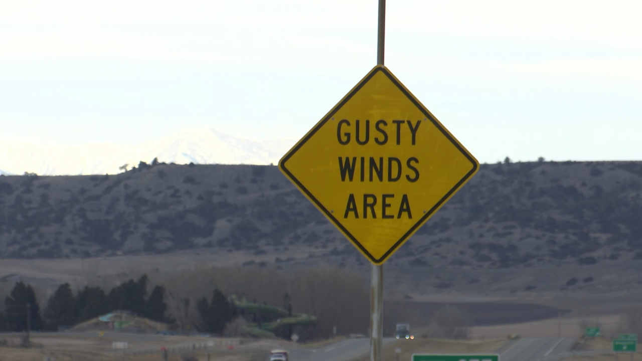
BILLINGS — Montana is no stranger to big wind events.
For Billings residents, most look back at the 2010 EF-2 tornado that caused damage to MetraPark.
However, straight-line winds have historically caused more damage in the state than tornadoes.

Storms on Wednesday night in Missoula left trees toppled, vehicles destroyed, and properties cluttered with debris.
But it's one Miles City residents can also relate to, even though they're nearly 500 miles apart.
"In straight-line wind situations, all that damage is in one direction," says Joe Lester, the chief meteorologist at the National Weather Service in Billings.
Lester has tracked many of the state's most destructive storms. Many of these storms, he says, occur during "thunderstorm season," a time of year when hot air rises. This immense heat in the atmosphere allows for wind gusts to match speeds of cars flying down the interstate.
"Yes, you can go that fast in your car. But now picture if you ram your car into a tree. What's going to happen to your car and the tree is a whole lot of damage," said Lester.
Wind gusts at the Missoula airport reached 81 mph, close to the Billings all-time record wind gust of 85 mph in July of 2007.
Those speeds are impressive, but nowhere near wind speeds often seen in places like Livingston or Great Falls. In that region, wind speeds can approach the triple digits.
"Livingston had a peak gust of 92 mph, and that was February of this year. That was second only to the record gust of 94 mph, which was in December of 1978," said Lester.

"The winds that we're used to talking about, Great Falls, Livingston, famous for winds, that's more of a large scale situation," said MTN Meteorologist Ed McIntosh.
McIntosh has forecasted many of these great storms. He says there's a big difference from what we typically see in the mountainous communities, compared to the recent events in Missoula and Miles City.
"These are more localized storms that are harder to predict because they're part of thunderstorms," he said.

But all thunderstorms are unique. McIntosh says there were notable differences between what occurred in Missoula in comparison to Miles City a few weeks ago.
"I think probably the biggest difference (between the two storms) was the storm system in Miles City was more of a line of thunderstorms, that would watch progress over a long period of time. Whereas, the system in Missoula, we could see it a little bit ahead of time, but there wasn't much advance notice," he said.
With many more days of hot weather across the state, these big wind events are likely to continue until the cool fall weather returns.


